500th Anniversary of Gerardus Mercator
First Maps
His first cartographic work appeared in 1537, and it was a map of Palestine.
In 1538, he published a map of the world on a double heart-shaped projection. The map is notable for a new interpretation of the name "America". As far as it is known, the new continent was named "America" by Martin Waldseemuller in 1507, who applied the name only to the southern continent.
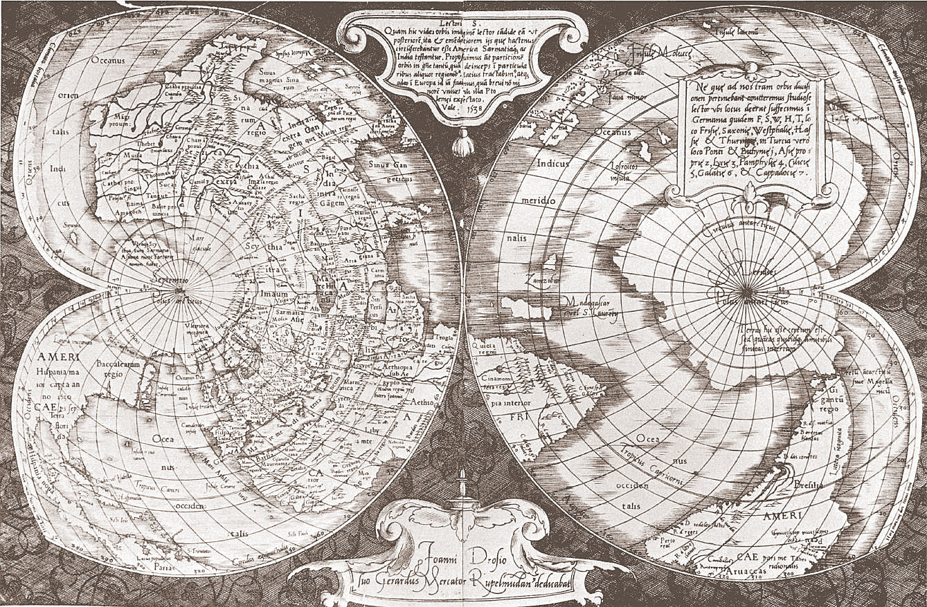
This viewpoint was common over the years. However, Mercator viewed the landmass discovered by Columbus as a single part of the world comprising both continents and, in 1538, he signed on the map, mentioned above, accordingly, 'America. The northern part' and 'America. The southern part'.
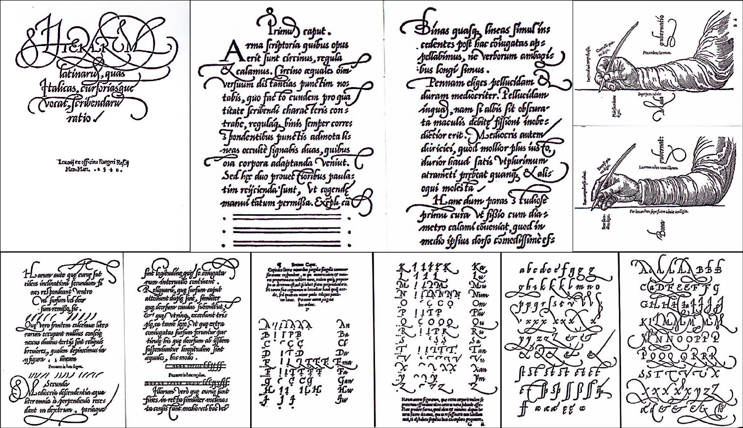
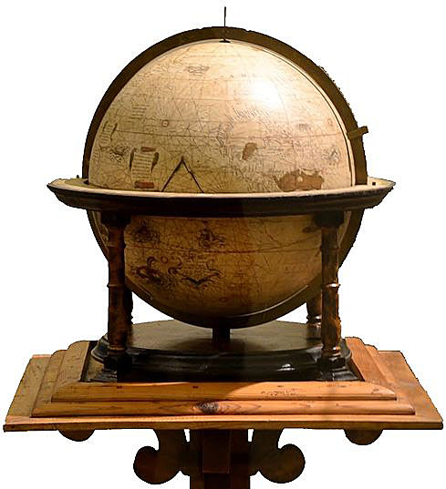
In 1541 Mercator produced a terrestrial globe. As regards the name of the new part of the world, Mercator went even further by deviding it into two parts: "Ame" and "rica" and writing each part on different continents on the globe. A year earlier, Mercator published a manual on italic writing, in which he justified the use of italics for placing geographical names on maps because of its convenience, readability, and space-efficiency. Since then, this font type has been applied everywhere and remains still wildly used today for the modern maps.